

The MEPP Planning Area, from a hydrologic standpoint, is primarily described as a ridge that acts as a divide between South Boulder Creek and Middle Boulder Creek and their respective watersheds. This divide extends from the foothills proximal to the plains, to the high peaks of the continental divide (refer to Map 1). The creeks are also the south and north boundaries of the Planning Area, respectively. From this perspective the Planning Area is devoid of major creeks or other significant bodies of water, but its hydrologic value as watershed is intrinsically critical to the Planning Area as well as to South and Middle Boulder Creeks.
 |
|
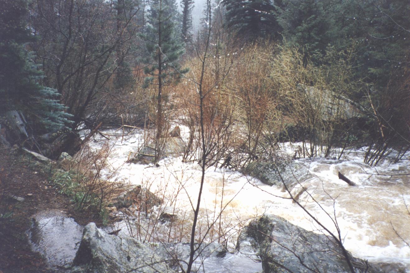
Figure 3.1 Forsythe Creek. Flow increased dramatically after an exceedingly wet spring.
|
The mean annual precipitation (18.6 inches in Boulder County) falls mainly in the mountain areas, increasing from east to west. About 70 percent falls in the mountainous portion, which comprises 60 percent of the land area of the county. The Planning Area receives between 20 and 25 inches of moisture annually, amounting to a total of approximately 23,400 acre feet. (Hall, Hillier et al, 1980). April and May usually bring over 50 percent of the annual precipitation, often in the form of heavy, deep snows. January and February are the driest months. Based on data for the entire mountain area of Boulder County, about 58 percent (13,572 acre feet) returns to the atmosphere through evapotranspiration. It is not known how much precipitation seeps from the ground, returns to streams, and is exported from the area.
 |
 |