

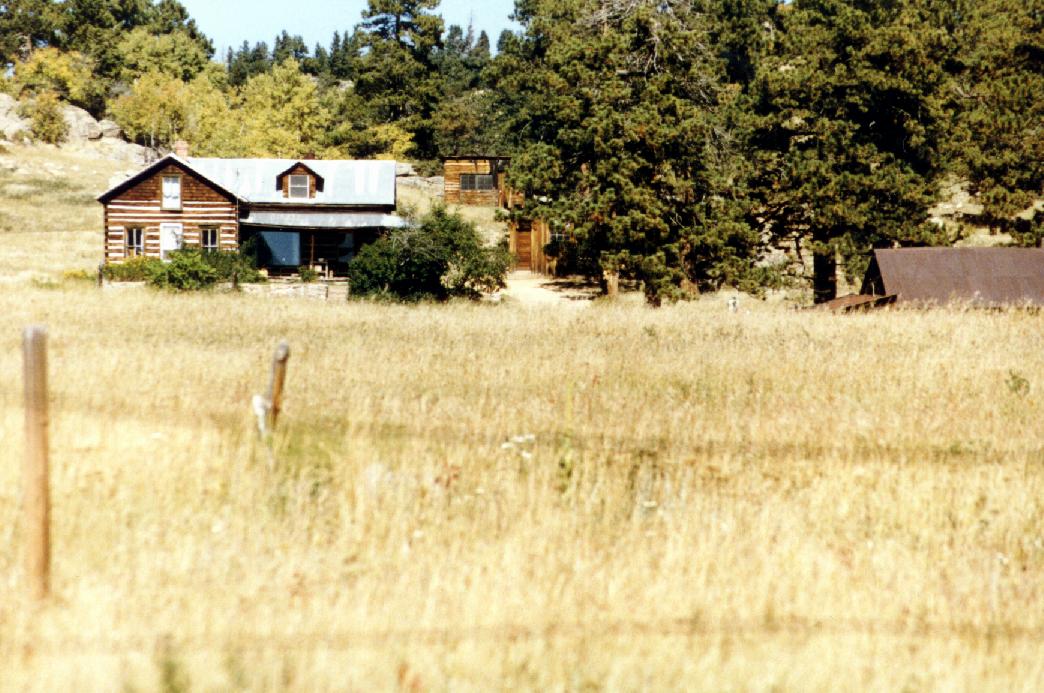
 There are several features within the Planning Area
that have been designated in the Boulder County Comprehensive Plan as
significant visual resources. These designations are displayed in
Figure 8.4 and include the following areas:
There are several features within the Planning Area
that have been designated in the Boulder County Comprehensive Plan as
significant visual resources. These designations are displayed in
Figure 8.4 and include the following areas:
Boulder Canyon
Magnolia Road
Eagle Rock
Twin Sisters Peak
Winiger Ridge
Open Corridors are scenic corridors along highways and mountain road systems. Natural Landmarks are "prominent landscape features that distinguish a locality in Boulder County and are "unique or distinctive natural features".
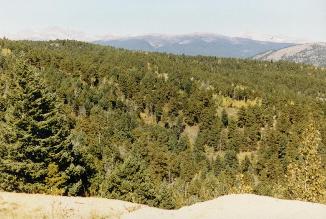
The Forest Service is in the process of implementing a new methodology called the Scenery Management System that leaves the previous Visual Management System intact, but changes some terminology and includes updated research findings.
The Arapaho and Roosevelt National Forests Proposed Revised Land and Resource Management Plan contains Visual Quality Objectives for each management area within the Forest. The range of visual management is:
Visual Quality Objectives within the Planning Area are:
Forestwide management direction for scenic resources is to manage the visual landscape consistent with the Visual Quality Objectives, and requires that visually unacceptable conditions or facilities be rehabilitated or mitigated. Specific forestwide scenery management, as directed by the Forest Plan, is found in Appendix 8.3
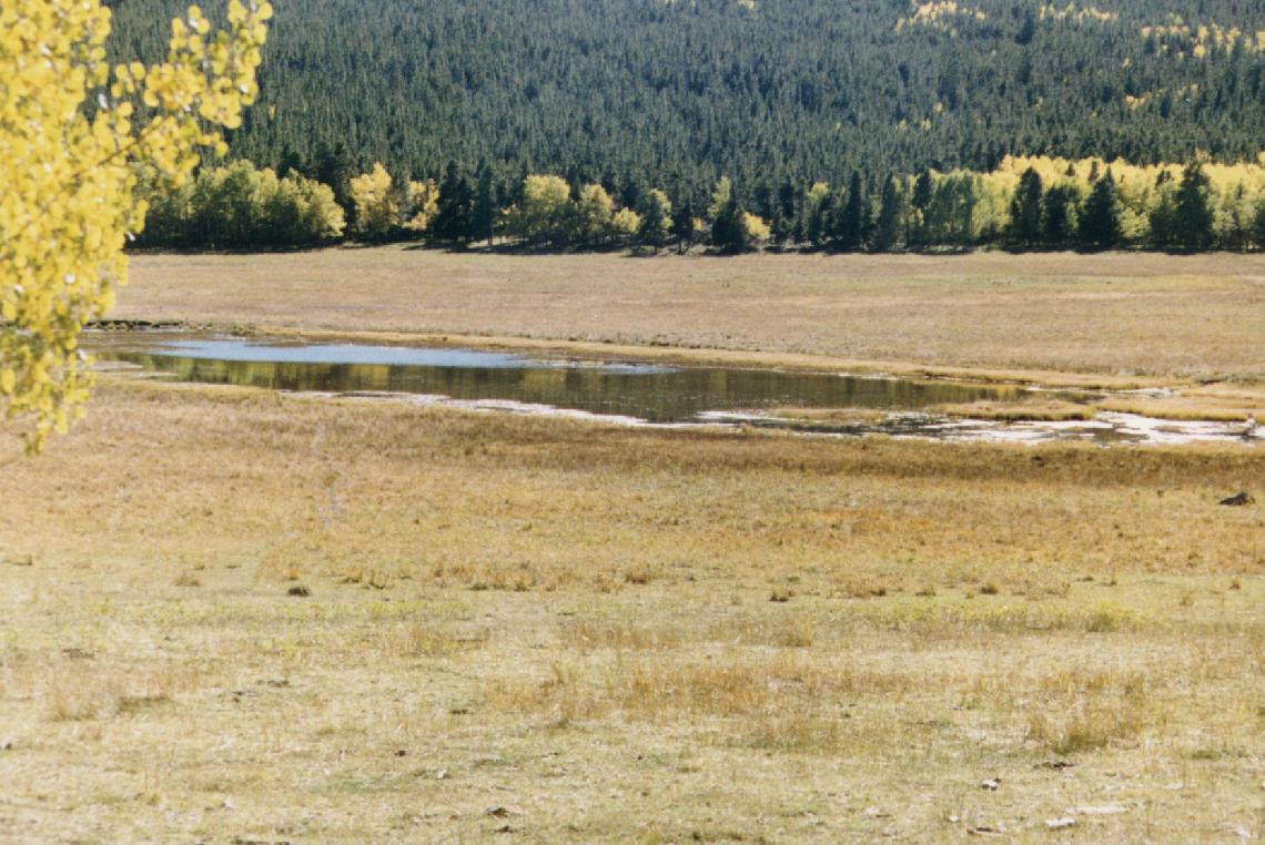 |
| Figure 8.6 Giggey Lake on Reynolds Ranch. This property has been acquired by the Boulder County Parks and Open Space Department. |
In conjunction with the Gross Reservoir relicensing project, Denver Water completed a visual resources report (Greystone 1997). This report described the existing visual conditions of the project area, identified potential impacts from the implementation of project alternatives, and identified measures to enhance the landscape and visual environment of the project area. Issues identified during the scoping process included potential impacts from the upgrade of the current powerline associated with hydroelectric facilities at the reservoir, or by construction of a new powerline, and impacts from future recreational development. The report used the same visual resource methodology as used by the Forest Service.
Forest lands within the FERC permit boundary were given the following designations:
 Western
shoreline of Gross Reservoir
Western
shoreline of Gross Reservoir
 |
 |