

 8.2
Regulatory Jurisdiction
8.2
Regulatory JurisdictionBoulder County has jurisdiction on scenic resources on private lands within the unincorporated area of the County, as well as on County Parks and Open Space and other properties controlled by the County. Planning policies for scenic resources have been developed in the Natural Landmarks section of the Environmental Resources Element, and Scenic Area and Open Corridor section of the Open Space Element of the Boulder County Comprehensive Plan. On private land, these planning policies are implemented by means of the standards and regulations set forth in the Boulder County Land Use Code that apply to subdivisions, site plan review for individual residences, and other zoning regulations (Boulder County Land Use Department 1997).
The Arapaho and Roosevelt National Forests Land and Resource Management Plan includes direction for the maintenance of scenic qualities on Forest lands within the Planning Area. This management process is described under Section 8.4.2.
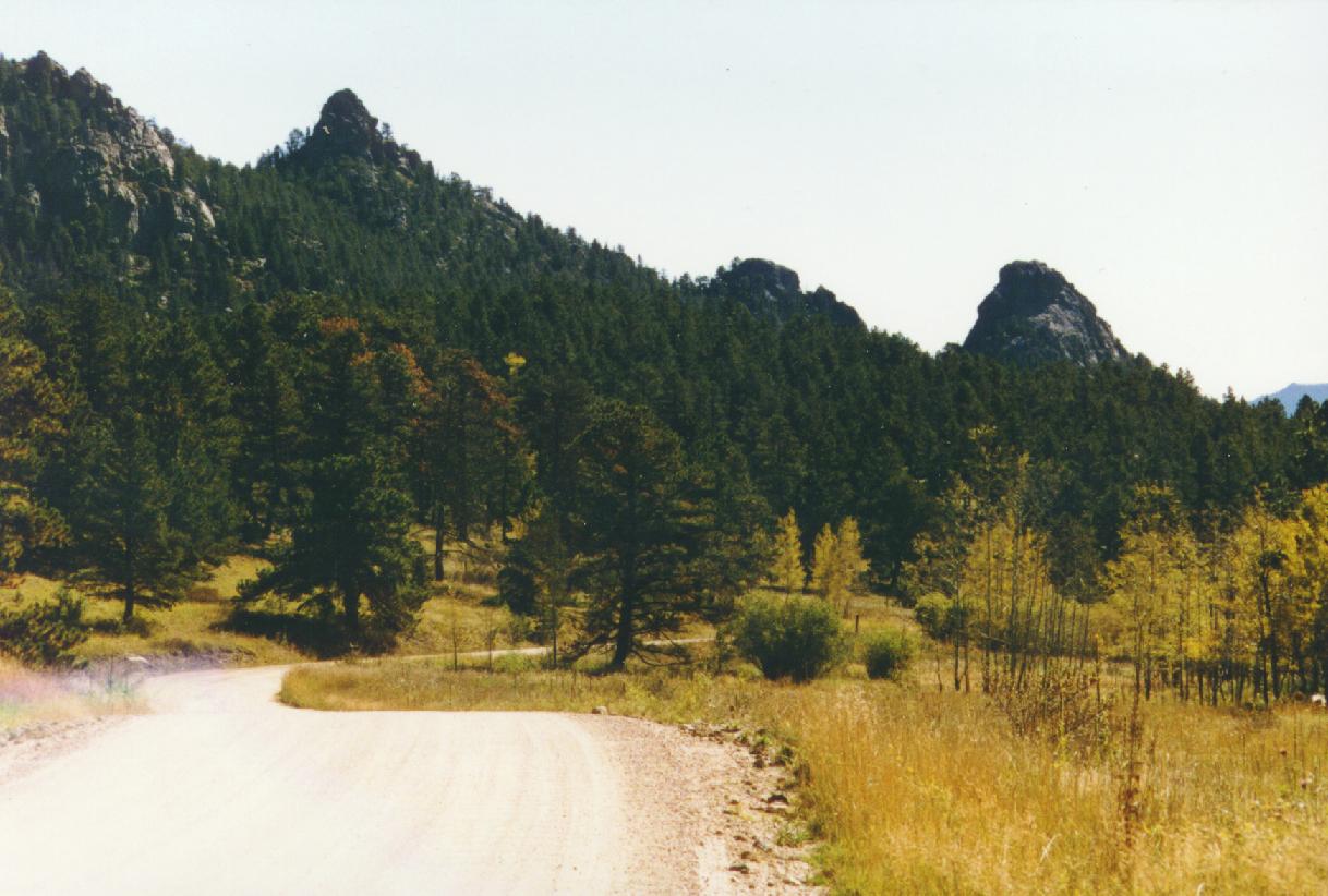
Table 8.1 Scenic Resource Catagories and Evaluations for the MEPP Planning Area
| Scenic Resource Category | Scenic Attractiveness | Scenic Integrity | Level of Public Concern and Value | Visual Absorption |
| Rocky Canyons | Distinctive | High | High | Low |
| Significant Rock Outcrops and Cliffs | Distinctive | High | High | Low |
| Meadows | Distinctive | High to Moderate, depending upon amount of residential and road development | High | Low |
| Aspen Forests | Distinctive | High | High | Low to Intermediate |
| Wetlands and Riparian Ecosystems | Distinctive | High, unless severely impacted | High | Low |
| Woodland | Distinctive to Typical | High to Moderate, depending upon the amount of residential development | High | Intermediate |
| Densely Forested Slopes | Typical | High | High | High |
| Historic Structures | Distinctive | High, unless severely impacted | High | Low |
| Intensive Residential Development | Undistinguished | Low | Low | High |
 |
 |