
The slowly growing population projected within the Planning Area, and the development of the relatively small number of available building lots is unlikely, itself, to significantly impact the transportation system within the Planning Area. The future character of the transportation system more likely hinges on the following assumptions:
Points 1, 2 and 5 are discussed below. Point 3 is discussed in Section 7, Recreation. Point 4 is treated as a subset of Point 3 and as a subset of through commuter traffic.
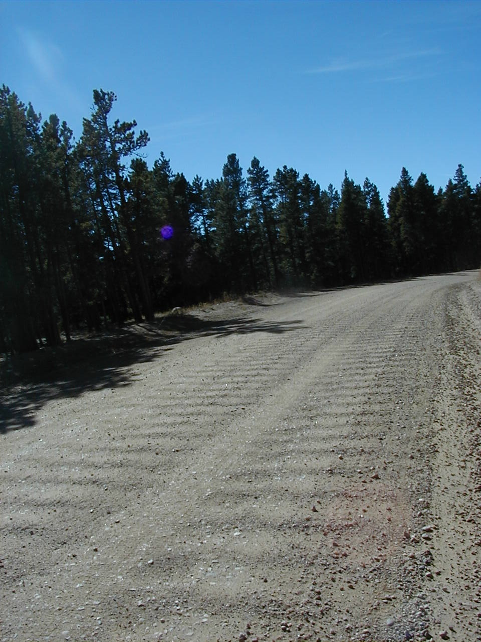
The cost of maintaining any gravel road increases as traffic volume, distance from a centralized maintenance facility, and distance from other gravel roads increases. Over time, the distances remain relatively constant, but traffic volumes (ADT) can typically increase. More traffic generally means more gravel loss over time and thus requires more frequent additon of gravel to resurface the road. Boulder County has found that the cost of maintaining a gravel road to a certain level of quality vs. ADT reaches a point that is equal to a 20-year annualized cost of paving and maintaining the road with a paved surface. The average traffic volume where this gravel vs. paved capital/maintenance cost is about equal is approximately 400 ADT. Additional consideration for area sentiment toward paving and public involvement also play a key role in determining whether a road is paved.
Magnolia Road would be a candidate for paving as each of the conditions outlined above are met.
ADT along Magnolia Road in the vicinity of Twin Sisters Ranch and Aspen Meadows already exceeds the approximate 400-500 ADT threshold that BCDOT considers as potentially meriting paving.1 This central stretch of Magnolia Road is one of the four most heavily traveled unpaved roads in Boulder County, and is by far the longest of the four. At 600-700 ADT, BCDOT considers maintenance of unpaved roads unfeasible.
There is an increased cost of maintaining the unpaved portion of Magnolia as a gravel road compared with the expected costs if it were paved. These must be balanced against the large, one-time expense of paving the road, as one factor in determining whether or when to pave the road.
Approximately 1" of gravel is lost from the road surface every year. Sections of Magnolia Road are periodically resurfaced with fresh gravel so that every 5 to 7 years the road is wholly resurfaced. Annual maintenance (grading, reconstruction, dust control, and wintertime snow plowing and sanding) costs about $9,600 per mile or $77,000 per year for the 8-mile unpaved portion of Magnolia. Comparable costs for maintaining a paved road, similar to what Magnolia would be if paved, are estimated by the County Transportation Department as $5,900 per mile or $47,000 for the 8-mile section of upper Magnolia. The differential annual cost is $30,000.
The cost-per-mile for paving the gravel portion of Magnolia would be in the $100,000 to $150,000 range, near the upper value if significant reconstruction of particular curves and intersections were necessary. (BCDOT does not currently intend to make major changes in the geometry of Magnolia if it were paved.) The total cost would thus be between $800,000 and $1.2 million. Therefore, it would take 27 to 40 years before lowered annual maintenance costs would recoup the costs of paving the remaining 8 unpaved miles of Magnolia. That time is long beyond usual planning time-horizons so there would seem to be little economic argument mandating paving at this time based on the costs of the current level of maintenance.
The southeastern quadrant of Boulder County is in non-attainment with federal air quality standards; however, County government operates as though the entire County is not in compliance. Air-born particulates are the number one air quality problem, and unpaved roads are commonly thought to be a significant source of air-born particulates.
Boulder Conty is attempting to meet federal non-attainment standards throughout the County. Dirt roads, along with quarrying, agriculture and large developement are the major contributors to the particulates problem.
Water quality issues with respect to sediment runoff from the unpaved sections of Magnolia Road have not been quantified, but significant sedimentation is probable.
 Safety
Despite the relative safety of Magnolia Road, there is general concern about road hazards and unsafe driving. Without a doubt, elements of the unpaved segment of Magnolia Road can be dangerous. Automobiles lose traction on washboard and on sandy areas. Inadequate drainage control causes erosion of the road, ponding, and formation of ice patches, which can constrict driving lanes and significantly increase stopping distances. Residents are familiar with cases of automobiles failing to negotiate sharp curves (some unbanked or inadequately signed) and winding up in a ditch, especially between Pine Glade and Lazy Z.
There is conflicting evidence about whether paving roads changes safety. Such upgrades often involve objective improvements such as increasing sight distances, straightening curves, providing for guard rails, building shoulders. But paving a road may also attract higher traffic volumes and encourages higher speeds, increasing the probability of accidents.
Opinions of residents within the Planning Area, obtained by PUMA surveys and informal poll, still favors maintenance of the status quo as opposed to further paving of Magnolia Road by approximately a 2:1 ratio for several reasons:
Travel along the unpaved section of Magnolia Road also generates a variety of concerns about accidents, dust, excessive speed, conflicts between commuters and residential usage (e.g. people walking dogs), washboard conditions and other deterioration of road surface and side drainages.
The residents of the MEPP Planning Area prefer not to see Magnolia Road used as an arterial or through transportation corridor.
County Road 97 provides access to and from State Highway 72. County Road 97 has approximately 300 ADT and is a gravel road that is a candidate for dust control.
Future growth of neighboring sections of Gilpin County, and the use of public roads in the Planning Area as a commuter route to-and-from Boulder, is a serious concern. The number of potential new residences in Gilpin County is unknown, but is likely to be several thousand. Despite the nature of lower Magnolia Road, it could provide a one-way commute up to 15 minutes shorter than the Nederland or State Highway 72 alternatives. The only inhibition might be County Road 97 and the unpaved section of Magnolia Road connecting State Highway 72 with Magnolia Road.
Gilpin County residents should be encouraged to use State Highway 119 (Peak-to-Peak Highway and Boulder Canyon) and State Highway 72 (Coal Creek Canyon) as commuter routes to Boulder, rather than County Road 97 and Maggnolia Road.
 Residents
perceive speeding as a threat to children, pets, wildlife and other users of
the roads. Generally, attempts to control speeding (especially in rural areas
of the West, where speed limits run counter to cultural norms) have little effect,
unless expensive and personnel-intensive steps are taken by local law enforcement.
These steps can rarely be employed outside of urban and suburban environments
or along major highways.
Residents
perceive speeding as a threat to children, pets, wildlife and other users of
the roads. Generally, attempts to control speeding (especially in rural areas
of the West, where speed limits run counter to cultural norms) have little effect,
unless expensive and personnel-intensive steps are taken by local law enforcement.
These steps can rarely be employed outside of urban and suburban environments
or along major highways.
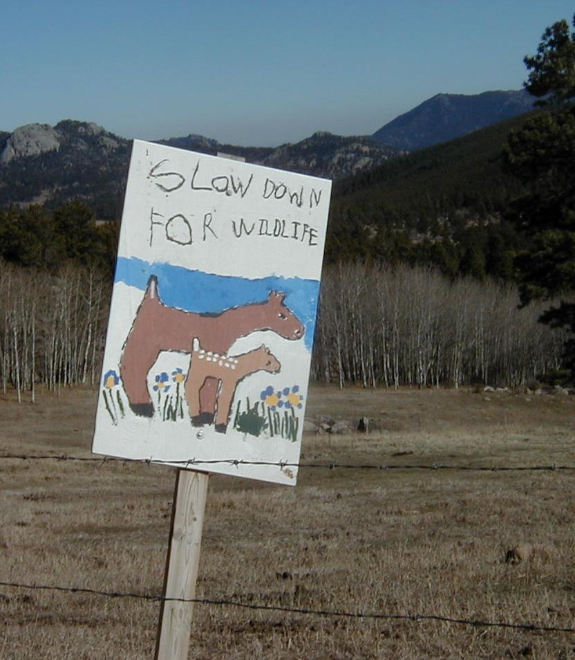
Poignant signs discouraging speeding were made by children in the neighborhood and were erected at several points along Magnolia. Many ideas have been suggested for controlling speeding, but consensus has not been reached. PUMA should continue a dialog with Boulder County officials concerning practical and effective solutions to these concerns.
Increasing motor vehicle traffic on Magnolia Road frequently comes into conflict with non-driving uses such as horseback riding, bicycle and foot races, jogging and walking. Some years ago, during discussions about paving lower Magnolia, and at a time when upper Magnolia was much narrower, the County stated that recreational uses would be included as upper Magnolia was widened within its right-of-way. Such alternatives should continue to be examined.
1 Between Aspen Meadows (County Road 68) and Lazy Z (County Road 97) ADT on Magnolia Road in 1995 was 440. At 3% annual growth, ADT in 1998 would be 480. East of Aspen Meadows ADT on Magnolia Road is probably in excess of 600 ADT, as County Road 68 contributes an additional 260 ADT, and most of these trips would be expected to head east to Boulder.
 |
 |